Contents
“Any sufficiently advanced technology is indistinguishable from magic.”
– Arthur C. Clarke
I happen to drive a car sometimes (forgive me for committing this sin). It also happens to have a phone mount installed. For some reason, every time I get into something running on 4 wheels, my motorcycle muscle memory goes away. For understandable reasons, the phone on this mount always has Google Maps running.
On the other hand, I’ve always used intercoms ever since intercoms for motorcycles have been around. Until it broke down, that is. I had to wait for a new one to get delivered.
A friend who wasn’t as technologically advanced as I am (which makes me sound like I have a stick up my butt- and I do), had a spare motorcycle mount for me to make do with in the meanwhile.
And what I discovered in that time period is what led to the inception of this article. Because in the middle of my ride, I was searching for gas stations: and color me surprised, the icon on the maps is of a motorcycle. Black Mirror-esque implications aside, I looked it up on the internet (on Chrome, ironically). And lo and behold, Google can tell when you’re riding a motorcycle. Woah.
Now how the hell did Google know that I was on a motorcycle?
That’s a question this article was curated to answer.
Because it’s insane that we live in a time where a thing in your pocket can coordinate with a thing in space to determine the number of wheels on the vehicle carrying said thing. And regardless of whether you find this insane or inane, you can’t deny how interesting that is.
Keep reading to find out more about how Google Maps can tell when you’re riding a motorcycle.
A Small History Lesson On Google Maps
Everyone and their mother has used Google Maps at one point.
But back in 2004, it was just a C++ program developed by two Danish Brothers. It was actually acquired by Google, later that year. Google made the news public on the Google Blog in the month of February in the following year.
Hurricane Katrina happened in August of the same year. In the next month, Google Maps updated its satellite imagery for residents of New Orleans to map the extent of the flooding.
In 2008, the HTC Dream, the first Android-operated system,was released. Along with the release of Google Maps for Android. Ever since, the usage of Google Maps has skyrocketed.
Google Motorcycle Mode

*Note: This section is on Google motorcycle mode, a service offered by Google Maps in the regions mentioned below. This is NOT to be confused with HOW Google finds out when you’re riding on a motorcycle.
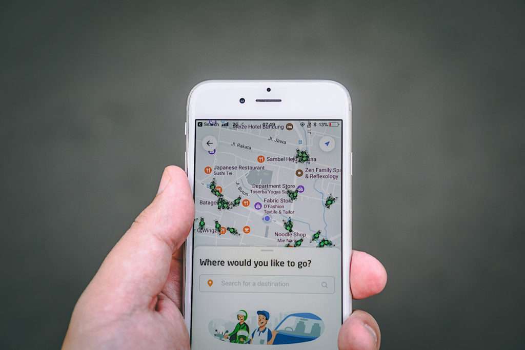
Towards the end of 2017, Google announced the arrival of the “two-wheeler mode” for Indian users on their blog. India, a country rife with cities suffering from extremely high population density also has the largest two-wheeler market in the world. Google’s newly-released service would display routes that use “shortcuts” otherwise inaccessible to larger vehicles such as cars and trucks. Along with real-time estimates of traffic congestion and arrival time.
One-by-one, Google released this feature for most of South Asia and the regions of Hong Kong, Indonesia, Malaysia, Myanmar, the Philippines, Singapore, Taiwan, Thailand, and Vietnam (as of September 2020).
This indicates that Google is expanding its focus beyond cars and trucks to include more of the motorcycling industry. As the world’s population increases, time and space are becoming more of a premium in cities around the world. And in the future, more people may switch to motorcycles as a result. In fact, some people have already started on this, such as the insurance broker in this (unintentionally) hilarious article campaigning to add this feature to Google Maps in the U.K. .
4 ways Google can tell that you’re riding a motorcycle
1. Accelerometer

By far, the most likely way Google can tell how many wheels your vehicle has is through the accelerometer in your phone.
As the name implies, an accelerometer is a tool that measures proper acceleration. Proper acceleration is defined as the acceleration (rate of change of velocity) of a body in its own instantaneous rest frame. In simpler words, the real-time measurement of the pace of an object going faster or slower. This contrasts with coordinate acceleration- which is probably the first thing that came to your mind when you read the word “accelerometer”. Coordinate acceleration is the measure of acceleration in a fixed coordinate system.
For example, say you and a friend leave from different cities to meet a mutual friend living in Albany. You’re leaving from Buffalo, he’s leaving from Rochester. Both of you have Google maps and your location services on. Your friend is riding at 50 miles an hour, you’re riding at 75. The calculation of your speed and time difference takes place in real time. When these calculations are performed on a much larger scale, Google can tell that you’re riding a motorcycle.
Within the context of the topic of this article, Google would use the information from accelerators on two or more vehicles and coordinate them with one another.
2. Gyroscope
Gyroscopic sensors in your phone use Earth’s gravity to help determine orientation.
The design philosophy behind a gyroscope consists of a freely-rotating disk called a rotor mounted onto a spinning axis, situated in the center of a larger and more stable wheel. Basically two concentric circles in 2D, and two concentric spheres of varying orientations (with the smaller sphere orienting more) in 3D. When the axis turns, the rotor remains stable to measure two things:
- central gravitational pull,
- which way points “down”
Once a gyroscope is spun, the axle tries hard to keep pointing in the same direction. Especially when mounted on a set of three gimbals, each mounted within the next with orthogonal pivot axes.
Comprehensive, complex technology like the one employed by Google uses inferences from the gyro sensors inside your smartphone to compare this “rotation” against that of a car to determine if you’re on a motorcycle- especially in tandem with an accelerometer.
3. Activity Recognition API
The Activity Recognition API is a software employed by Google that is built on top of the sensors available in a device to provide Google Maps insights into what users are doing in real time. Using machine learning models, the API periodically reads data from these sensors in short bursts and processes them. The API is especially powerful when used as a complementary aid to accelerometers and gyroscopes, as it can detect slight variations in the dozens of signals from said sensors.
As an example, for resource optimization, the API stops all recording if your phone goes still for a while, and progressively uses lower power sensors to resume recording when it picks movement up again.
4. Google Location History
Location History, as you most probably knew already, is a setting that records your location across multiple devices containing the same Google account.
The benefits of turning your location Location History on are plenty, and some of them are obvious, such as:
- Personalized maps
- Recommendations based on places you’ve visited
- Help finding your phone
- Real-time traffic updates about your commute
- Advertisements and search results that are more relevant
The downsides of course (as hinted in the beginning of this article, and elaborated on towards the end) are privacy and data breaching concerns.
Privacy concerns about tracking

Google Street View, regardless of how you feel about it, is pretty damn impressive. However, it has come under fire for a lot of concerns about privacy breaches, such as uploading picture clear information about people leaving abortion centres, taking part in protests, and visiting certain -cough cough- unorthodox places of business.
While it’s difficult to quantify how pervasive the data collection by Street View is when pitted against the data collection by Google Maps, there is more than enough of the former for you to raise concerns about the latter.
And multiple news stories have been written on this, such as this article published by The New York TImes back in 2018 (Google Knows Where You’ve Been, but Does It Know Who You Are?) which makes the following, highly cogent points :
- The amount of data Google has on you (and amount is the most vague term possible because it can be a lot ) can be alarmingly extensive and pervasive
- Sometimes, Google Maps can automatically store time-stamped location data without asking
- If you fully opt in to certain Google products, they can be used in tandem with the information from Google Maps to form a more comprehensive “profile” on you
- Third-party entities can have access to a lot of things about you that you don’t want accessed (while Google says it doesn’t share anything about your location history, it doesn’t say anything about sharing the inferences its extremely complex and intelligent algorithm makes about your movement, which can be shared with advertisers)
Conclusion
In summation, Google can possibly detect when you’re traveling on your motorcycle through a couple of methods, namely via:
- An accelerometer
- A gyroscope
- Through its activity recognition API software
- Via inferences from its Location History
While this comes with all kinds of privacy concerns, it’s also legitimately impressive.
But to find out which side of the fence you stand on, you have to weigh how much you value convenience against how much you value privacy.


 Do Motorcycles Accelerate Faster Than Cars? [Stats inside]
  3 Motorcycle TPMS Options For Longer, Better Rides
  Monstrous Evolution: 2021 Ducati Monster breaks cover
  Ninja Assassins Cometh: WBSK 2021 Ninja ZX-10R & ZX10-RR unveiled