Contents
“You look at where you’re going and where you are and it never makes sense, but then you look back at where you’ve been and a pattern seems to emerge.”― Robert M. Pirsig, Zen and the Art of Motorcycle Maintenance: An Inquiry Into Values
One of the best parts about riding away to random places so you can run away from yourself is that it sparks your interest in riding in new places you haven’t ridden before.
And I’ve been riding all over the country for over half of my life. And I’m going to be putting that experience into good use in this article.
Here are some of the best motorcycle rides in the united states that let you escape from yourself: Riding these scenic roads is automobile therapy, and everyone needs therapy- at least some times.
1. Tail of the Dragon (Tennessee)
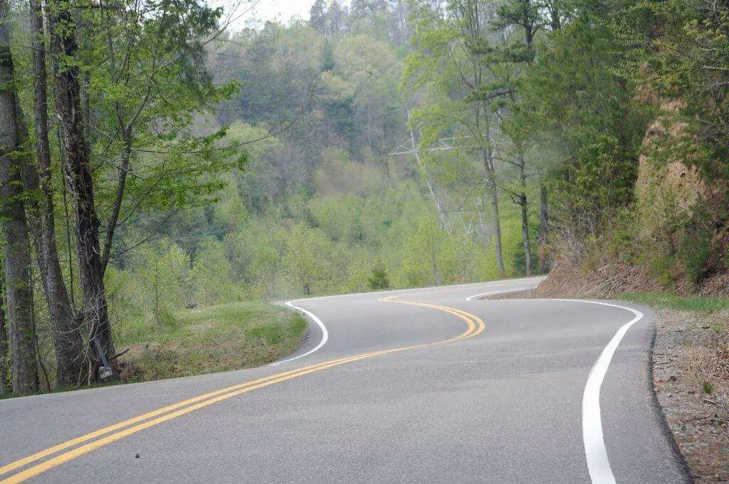
There’s a reason this trail is called the “Tail” of the dragon. And that’s because this 11-mile stretch of road has approximately 318 curves. Famous among motorcycle enthusiasts for its twists and turns, this stretch of road located at Deals Gap (a mountain pass on the North Carolina / Tennessee state line) receives a ton of biker tourists every year.
Due to the insane number of curves, powering through all 318 of the curves feels like being in a rollercoaster ride- one where you decide how fast you go.
That being said, this is one of those trails that should be traversed only by those of you with significant experience. This isn’t the best place to upload onto your Instagram stories. You’re going to see all kinds of animals, but for the Tail, the attraction is not the sightseeing. The attraction is the Tail.
This being a mountain pass, we highly recommend you visit during the summer months.
2. Beartooth Highway (Tennessee)
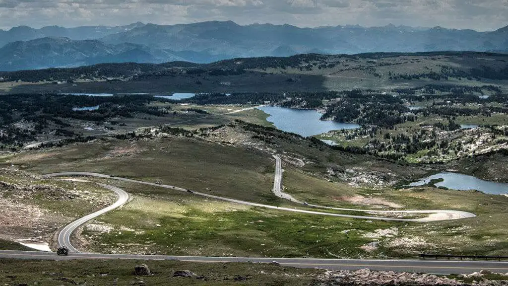
Charles Kuralt, the host of the widely popular (back in the day) “On The Road” segments on the CBS Evening News, described Beartooth as the most beautiful drive in America.
The All-American Road is located on a section of U.S.Route 212, between Red Lodge, Montana and the Northeast entrance of Yellowstone National Park. Situated at nearly 11,000 feet above sea level, the pass is often closed during the winter due to heavy snowfall.
This path is breathtakingly gorgeous, it is one of the most daring landscapes to navigate, due to the reason above. Snowstorms occur even in summer, and the pass is also prone to heavy winds and crazy thunderstorms.
Riders should plan on a drive time of at least 2 hours, even though the stretch is only 111km long.
3. Going To The Sun Road: Montana
“Like that mountain lake. It was so clear, Jenny. It looked like there were two skies, one on top of the other.”- Forrest Gump, 1994
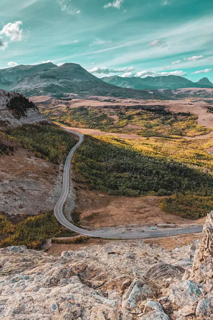
The shots in the background while Forrest recalls his running across the country to Jenny are the Going-To-The-Sun-Road and Saint Mary Lake.
Another mountain road, this scenic road is located in the Rockies. The only road that traverses Glacier National Park, the Sun Road crosses the Continental Divide- through Logan Pass, the highest point on the road (named after Major Willian R. Logan, the first superintendent of the Glacier National Park).
This road is so iconic that it’s actually the first of it’s kind to be designated as a National Historic Place, National Historic Landmark, AND Historic Civil Engineering Landmark.
A two-lane, the road is narrow and laden with hairpins, adding to your experience.
4. Blue Ridge Parkway
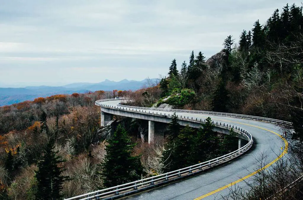
Running for 469 miles, this All-American road is the longest linear park in the country. Named after the Blue Ridge mountains, along whose spine the road trails, this parkway links the Shenandoah National Park to the Great Smoky Mountains- a mind-boggling distance.
The gorgeous mountainous sections between Asheville and Cherokee in tandem with the beautifully secluded fields and valleys at the border of Virginia and North Carolina make the scenic experience incredibly vivid and varied.
Brace yourself for all the black bears.
(Keep in mind- the entry fee to Shenandoah is $20 per motorcycle and $10 per person. To get all out of your money’s worth, it would be a good idea to break up the driving and stay at any of five of the park campgrounds for $15-20 a night).
5. Natchez Trace Parkway

Originally traversed by the Native Americans to hunt bison, the Natchez Trace Parkway is chock full of Native American and Civil War history. With plenty of deer to boot.
One of the easiest rides to navigate on this list, the Natchez Trace Parkway is incredibly peaceful. Except for the occasional RV, you’re never going to see other vehicles that don’t constitute recreational traffic.
Some of the segments of this path are listed under the National Register Of Historic Places.
6. Pacific Coast Highway: California
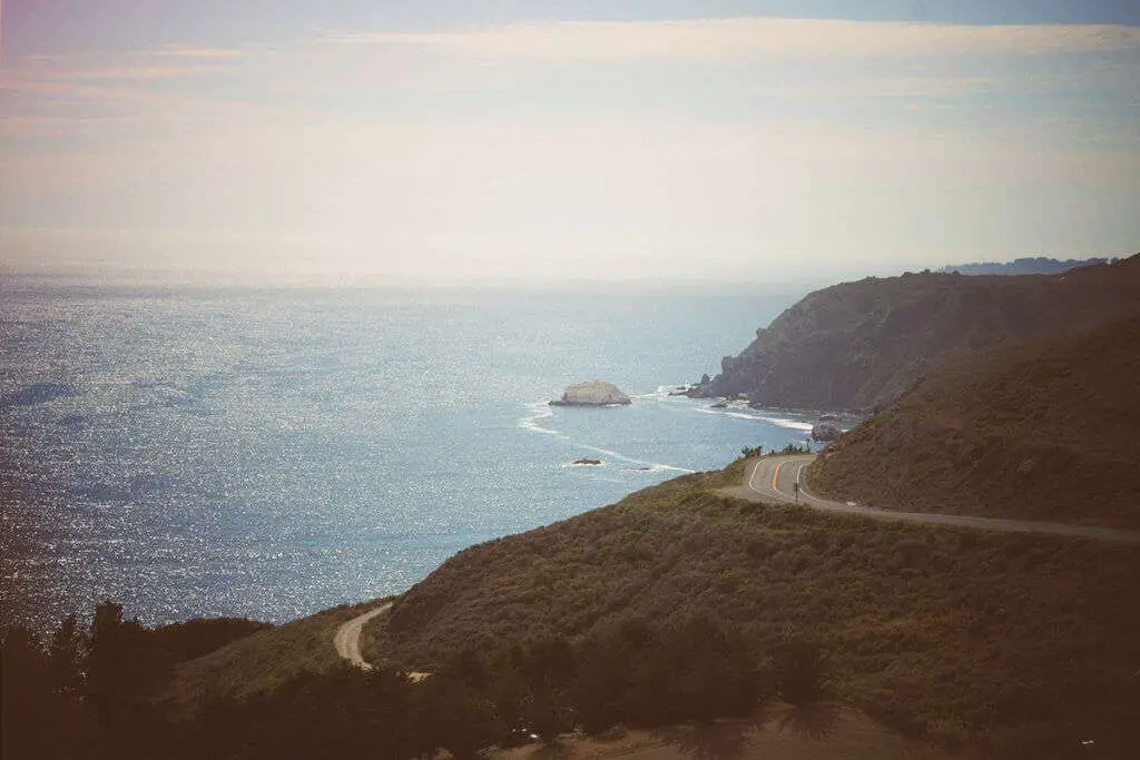
This ride runs through the Big Sur. That alone is reason enough for you to book a ticket to John Wayne Airport (the route begins in Orange County).
For those of you in the dark, the Big Sur is a pretty big deal. Named by Condé Nast as one of the 10 most world-famous streets, this is widely considered to be one of the most scenic driving routes in the United States. The redwoods, hikes, and beaches mean a LOT of people visit it every year.
The rest of the Pacific Coast Highway is not as well known- but the scenery still demands to be seen- all 656 miles of it.
7. Cherohala Skyway: Tennessee
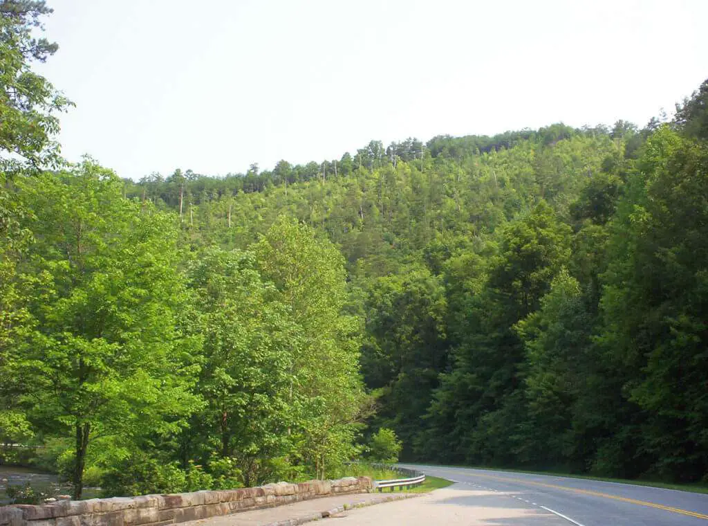
Also known as Overhill Skyway this byway runs for 43 miles from the Tellico Plains to Robbinsville. Passing through both the Cherokee National Forest and the Nantahala National Forest, (Cherohala is derived from the first halves of both forests), this is an extremely scenic byway.
The skyway gains over 4,000 feet in elevation, rising from a low point of just under 900 feet at the Tellico Plains to a high point of just over 5,400 feet on the slopes of Haw Knob near the state line. Combined with multiple curves and low traffic (especially at night), the road can be dangerous in the winter. The byway provides access to several viewpoints, recreational areas, and vistas.
8. Twisted Sisters: Texas
Get your mind out of the gutter. That’s not what the title means.
The Ranch Roads 335, 336, and 337 in the Texas Hill Country constitute the Twisted Sisters. While not as difficult as the Tail of the Dragon, you still need a fair bit of experience to navigate these roads. The Twisted Sisters take you through a loop spanning over a 100 miles. This includes Texan ranches, valleys, and hills.
As the curves are around the canyons, you’re going to be witness to some of the widest views. In fact, in one of the stretches, there are about 65 curves.
There are a lot of attractions and road stops on the way, namely the Lone Star Motorcycle Museum, Stonehenge II, Frio Canyon Motorcycle Stop, and Lost Maples State Natural Area.
9. Arkansas Highway 23: Arkansas
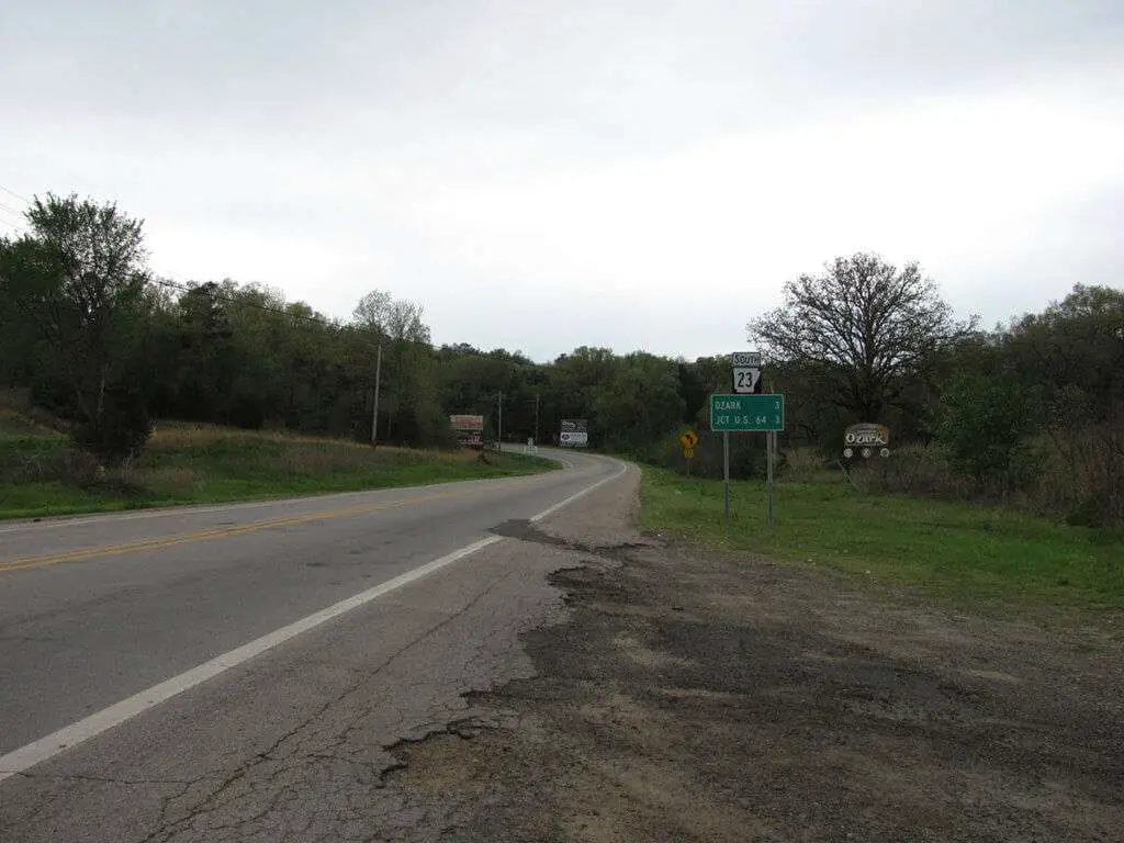
Also known as the Pig Trail, due to the number of steep hills, drop-offs, and switchbacks, this 19-mile road cuts through the Ozark National Forest.
This very unique name is said to have many origins. Some say it’s been named after the University Of Arkansas football team, others say the name comes out from the path’s unique layout, and others say that this is because of the hogs that roam the area.
Running along the Boston Mountains, the Pig Trail also has a lot of opportunities to do outdoor activities, such as whitewater rafting, kayaking, and camping.
Spring and fall are the best time to visit the Arkansas Highway.
10. San Juan Skyway: Colorado
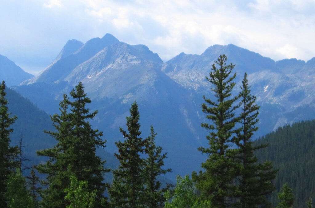
Another All-American road, the San Juan Skyway is part of the Colorado Scenic and Historic Byway system. Starting in Durango, the byway follows the 160 west through the town of Mancos to Cortez, passing the entrance of the Mesa Verde National Park.
The Lizard Head Peak, the Red Mountain Pass, and Ouray Mountains are a sight to behold.
Forming a 233-mile loop in Southwest Colorado, it traverses the heart of the San Juan Mountains. It was first designated as a National Scenic Byway back in 1986k
11. Tunnel Of Trees: Michigan
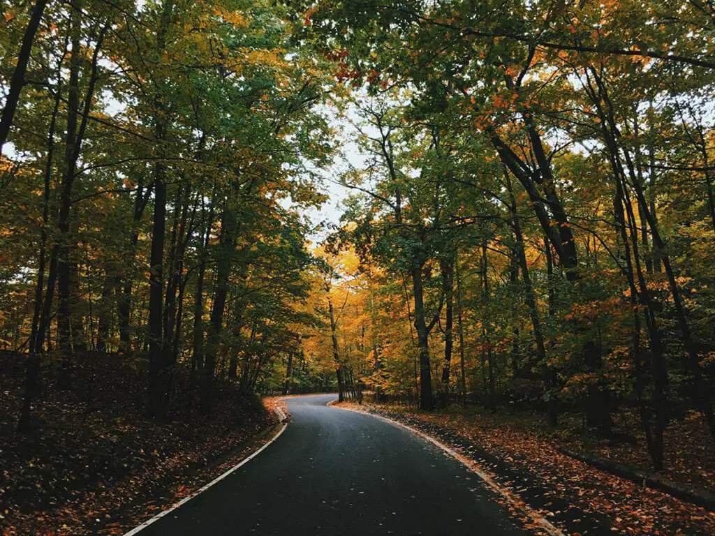
Also known as the M-119, between 2000 and 15000 vehicles use various parts of the highway every day. Designated as a Pure Michigan Byway, the Tunnel Of Winds is located north of Harbor Springs.
This section lacks a centerline, but it’s still pretty damn fun to ride in.
The Tunnel Of Trees is especially breath-taking during Autumn and Spring. During the former, you’re going to spot all kinds of Hardwood trees flaunt their brilliant fall color. During the later, the forest floor is blooming with all kinds of Birthroots.
You’ll also find a lot of fun shops, amazing restaurants and historical spots along the way.
Conclusion
My development as a writer was actually a side-effect of me using words to overshare words as a coping mechanism (go figure). Another side-effect of this is a natural empathy for people going through crappy things and an appreciation of the things that help you go through crappy things.
And it’s hard to feel crappy about things when you drive 50 miles deep into a state park on great roads while you try to not swerve away from the occasional deer.
Getting philosophical at the end of an article about roads may be an uncommon way to conclude it, but then again- my favorite book is Zen And The Art Of Motorcycle Maintenance.
So I will say this: life is hard, but never lose sight of the good things. Both in and outside the world of motorcycles.
Because they were placed here to help us get through life.

 What Makes Motorcycle Pants So Important
  Can A Rear Motorcycle Tire Be Used On The Front?
  Why Ride A Motorcycle? 5 Reasons It Makes Your Life Better
  Complete Guide To The Best Long Distance Motorcycle Riding Gear